Description
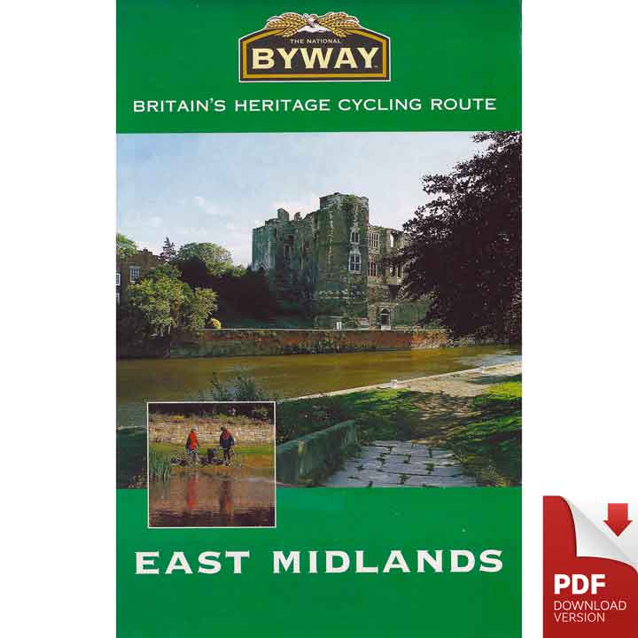
The National Byway® East Midlands downloadable PDF route map including Nottinghamshire, Lincolnshire, Leicestershire, Rutland and Northamptonshire.
The majority of the 379 miles (610km) National Byway route through the eastern part of the English Midlands, is within the officially designated EU region, the balance passing through North Lincolnshire. While it covers 12% of England’s total landmass, the region has a population of only 4.2 million, so much it is rural in nature. It is through this tranquil and picturesque part of England’s pastoral landscape that The National Byway East Midlands route wends its way.
From the vales of Northamptonshire and Rutland in the South, which are the quintessential rolling wooded lands of England’s shires, through ancient Rockingham Forest, across the windy wolds of Leicestershire and Lincolnshire and on into the vale of River Trent in Nottinghamshire, The National Byway® meanders on. Through historic market towns and peaceful villages, the Byway makes its way to the majesty of one of the 20th century’s architectural masterpieces of the Humber Bridge. En route it focuses on more than 130 places of interest whose origins spread across 3,000 years.
As well as the main route, there are a series of 5 Loops in the East Midlands, designed for single-day or short-break usage. Most of them are reachable by train and are based on: Oakham (25mile/40km), Oundle (29miles/47km), Grantham (36 miles/58km), Newark and Southwell (38 miles/61km) and Retford (21 Miles/34km). Each providing a taste of the pleasures of the East Midlands route.
